Georgia's Landforms
Georgia's Rivers
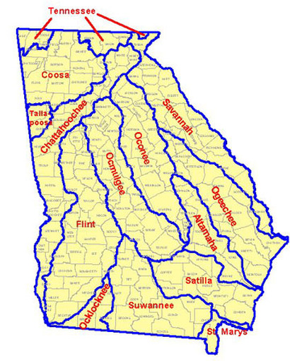
Georgia has over one-hundred miles of coastline on the Atlantic Ocean. It starts at the beginning of the Savannah River and it goes through the St. Marys River. The state's deep-water ports are Savannah and Brunswick. Georgia's has many lakes. Those include Oostanaula River, Etowah River, Coosa River, Chattahoochee River, Savannah River, Ogeechee River, Ocmulgee River, Oconee River, Flint River, Suwanee River, St. Marys River, Satilla River, Alapaha River, and lastly the Altamaha River. Georgia has twelve principal systems consisting of these 14. The Altamaha River combines with the Oconee and Ocmulgee River, which is one of river systems.
Georgia's Lakes
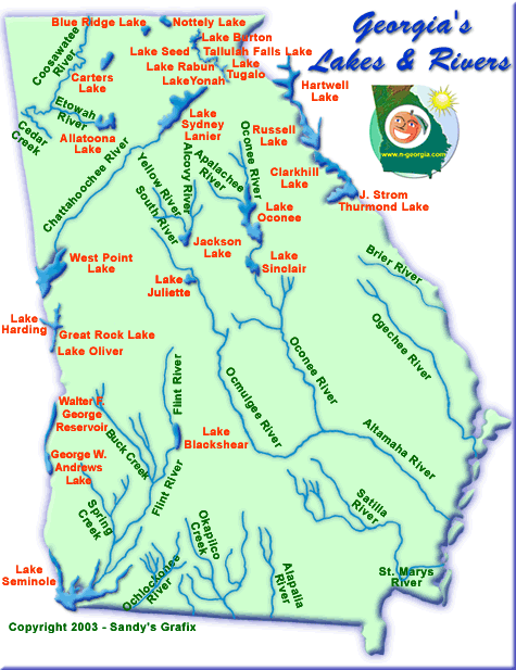
With the amount of Rivers Georgia has. It also has many major lakes. Those include West Point lake, Lake Seminole, Lake Sinclair, Lake Oconee, Lake Sidney Lanier, Allatoona Lake, Hartwell Lake, and J. Storm Thurmond Lake.
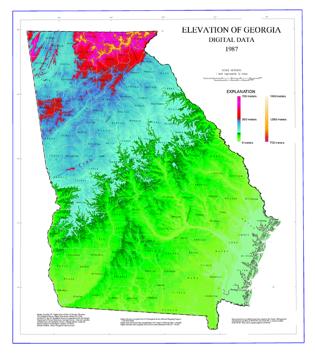
Georgia's Mountains
Georgia's highest mountains are all located in the northeastern part of the state. Those include Coosa Bald, Double Spring Knob, Slaughter Mountain, Grassy Ridge, Tray Mountain, Blood Mountain, Wolfpen Ridge, Hightower Bald, Dick's Knob, Ruban Bald, and Brasstown Bald.
Elevation of Mountains
These are all located in the northeastern part of the states. Brasstown Bald is 4,784 feet, located in Union County.
Rabun Bald is 4,696 feet, located in Rabun County.
Dick's Knob is 4,620 feet, located in Rabun County.
Hightower Bald is 4,568 feet, located in Towns County.
Wolfpen Ridge is 4,561 feet, located in Towns and Union Counties.
Blood Mountain is 4,458 feet, located in Union County.
Tray Mountain is 4,430 feet, located in Towns County,
Grassy Ridge is 4,420 feet, located in Rabun County.
Slaughter Mountain is 4,338 feet, located in Union County.
Double Spring Knob is 4,280 feet, located in Rabun County.
Coosa Bald is 4,280 feet, located in Union County.
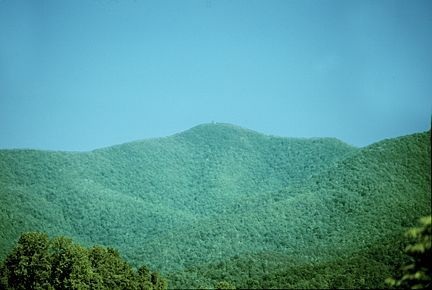
This is a picture of Brasstown Bald Mountain.
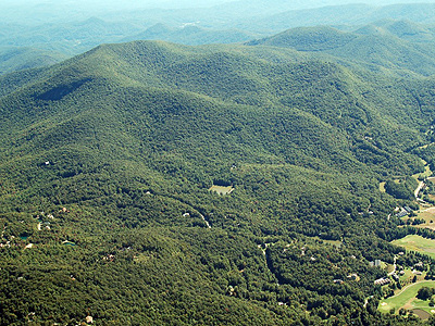
This is a picture of Rabun Bald Mountain.
